
2,243 Flock and ALPR cameras in Washington.
Found by DeFlock volunteers and mapped in OpenStreetMap. Counted November 17, 2026. Enter your ZIP to count the ones near you.
2,243
cameras mapped in Washington
- 33
- counties with cameras
- 20 of 52
- states by count
- 29
- per 100,000 residents
Cameras by city
Cities and towns in Washington with their own page, most cameras first.
- Yakima144
- Renton80
- Everett74
- Federal Way66
- Kent57
- Lakewood54
- Auburn53
- Seattle48
- Tukwila48
- Puyallup42
- Marysville38
- SeaTac35
- Pasco30
- Spokane Valley30
- Sunnyside30
- Bonney Lake28
- Monroe27
- Toppenish27
- Vancouver26
- Arlington24
- Tacoma23
- Mill Creek22
- Walla Walla22
- Des Moines21
- Moses Lake21
- Lynnwood20
- Bellevue18
- Liberty Lake18
- Selah18
- Centralia16
- Issaquah16
- Wapato16
- Chehalis15
- Edmonds15
- Sumner15
- Aberdeen14
- Ellensburg14
- Olympia14
- Stanwood14
- Union Gap14
- Five Corners13
- Kennewick13
- Lacey13
- Spokane13
- Wenatchee13
- Covington12
- Grand Mound12
- Grandview12
- Mukilteo12
- Bothell11
- Prosser11
- Shelton11
- Bellingham10
- Redmond10
- Sammamish10
- West Richland10
Cameras by county
Every county with at least one mapped camera, most first. Each link opens the live map on that county.
- King County560
- Yakima County425
- Snohomish County323
- Pierce County219
- Spokane County135
- Clark County69
- Benton County56
- Thurston County54
- Grays Harbor County38
- Lewis County38
- Grant County34
- Kittitas County32
- Franklin County31
- Walla Walla County30
- Chelan County28
- Skagit County20
- Kitsap County18
- Douglas County17
- Mason County16
- Whatcom County15
- Okanogan County13
- Adams County10
- Cowlitz County10
- Jefferson County9
- Lincoln County9
- Klickitat County8
- Clallam County5
- Island County5
- Skamania County5
- Ferry County4
- Stevens County3
- Whitman County2
- Pend Oreille County1
Other states
Who makes them in Washington
Vendors by the brand volunteers recorded. 67 cameras carry no brand yet.
Flock Safety
1,953 cameras, 87.1%
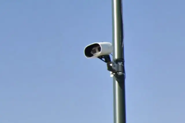
Neology, Inc.
40 cameras, 1.8%
Also on the map: Axis Communications (30), Avigilon (24), Kapsch (24).
How to recognize one
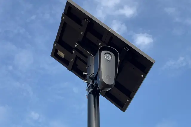
Four out of five are the Flock model in the photo above. Look for three things.
- A small gray or black camera box on its own pole, usually ten to twelve feet up, pointed at the lane.
- A solar panel on top of the pole. Most Flock cameras run on it.
- Intersections, neighborhood entrances and parking lot exits, facing the cars coming in or going out.
What the camera records
It photographs every car that passes and logs the plate, the time and the place. The record can be searched later by any agency with access, and Flock has said its network records about 20 billion plate scans a month.
Why these cameras are a problem, with sources.
Questions
- How many Flock cameras are in Washington?
- 2,243 license plate cameras from every vendor are mapped in Washington as of November 17, 2026, which puts it 20th of 52 states. The map is incomplete, so the real number is higher.
- Which counties in Washington have the most?
- King County with 560, Yakima County with 425, Snohomish County with 323. Every county with a camera is listed above.
- Where does the map come from?
- Volunteers find the cameras and add them to OpenStreetMap, most of them through DeFlock. FlockHopper pulls those points every day and shows them here. Nothing comes from Flock or from any agency.
- Is the map complete?
- No. A camera that is not on the map may still be there, and the count only goes up as volunteers find more. Treat a blank street as unknown, not clear.
- Can I add a camera that is missing?
- Yes. The FlockHopper iPhone app adds cameras to OpenStreetMap, and the Android app links to DeFlock's report page. Here is how to add a camera. The map here counts it within a day.
- Will the app warn me before I pass one?
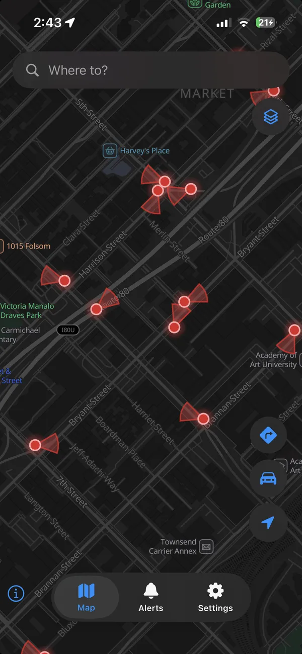
- Yes. FlockHopper shows this map on your phone and alerts you as you approach a camera. It can also plan a route around them, which usually costs a few minutes.
Take the map with you.
FlockHopper puts every camera in Washington on your phone and warns you before you pass one. Free on iPhone and Android, no account.


Counts are cameras tagged in OpenStreetMap that fall inside each Census boundary on November 17, 2026. The map is incomplete: a camera that is not on it may still be there. Camera locations come from DeFlock volunteers and OpenStreetMap contributors (ODbL), not from any vendor or agency. Why these cameras are a problem.