
3,403 Flock and ALPR cameras in Virginia.
Found by DeFlock volunteers and mapped in OpenStreetMap. Counted November 17, 2026. Enter your ZIP to count the ones near you.
3,403
cameras mapped in Virginia
- 117
- counties with cameras
- 14 of 52
- states by count
- 39.3
- per 100,000 residents
Cameras by city
Cities and towns in Virginia with their own page, most cameras first.
- Virginia Beach250
- Norfolk249
- Hampton159
- Richmond156
- Suffolk147
- Portsmouth141
- Newport News130
- Chesapeake89
- Alexandria74
- Williamsburg42
- Winchester39
- Arlington37
- Fairfax37
- Roanoke30
- Blacksburg25
- Hopewell25
- Tysons23
- Emporia21
- Danville20
- George Mason20
- Herndon20
- Reston20
- Sudley20
- Martinsville19
- Potomac Mills19
- Springfield19
- Huntington18
- Chester17
- Smithfield17
- Culpeper16
- Franklin15
- Bluefield14
- Chantilly14
- Fredericksburg14
- Leesburg14
- Centreville13
- Lynchburg13
- Petersburg13
- Bailey's Crossroads12
- Colonial Heights12
- Woodstock12
- Dale City11
- Vienna11
- Galax10
- McLean9
- Salem9
Cameras by county
Every county with at least one mapped camera, most first. Each link opens the live map on that county.
- Fairfax County288
- Norfolk city248
- Virginia Beach city243
- Hampton city169
- Richmond city156
- Chesterfield County151
- Suffolk city144
- Newport News city132
- Portsmouth city129
- Chesapeake city107
- Prince William County88
- Alexandria city61
- Loudoun County60
- Arlington County45
- Montgomery County45
- Shenandoah County44
- Fairfax city38
- York County38
- Williamsburg city37
- Rockingham County36
- Roanoke city35
- Northampton County34
- Winchester city33
- Accomack County32
- Isle of Wight County28
- James City County28
- Augusta County25
- Franklin County25
- Hopewell city23
- Rockbridge County22
- Emporia city21
- Mecklenburg County21
- Roanoke County21
- Spotsylvania County21
- Henrico County20
- Prince George County20
- Stafford County20
- Tazewell County20
- Bedford County19
- Danville city18
- Martinsville city18
- Culpeper County17
- Gloucester County17
- Pulaski County17
- Wise County17
- Botetourt County16
- Greensville County16
- New Kent County16
- Fauquier County15
- Henry County15
- Carroll County14
- Frederick County14
- Hanover County14
- Lynchburg city14
- Page County14
- Powhatan County14
- Warren County14
- Wythe County14
- Franklin city13
- Fredericksburg city13
- Pittsylvania County13
- Albemarle County12
- Orange County12
- Smyth County12
- Campbell County11
- Dinwiddie County11
- Bristol city10
- Galax city10
- Nottoway County10
- Petersburg city10
- Brunswick County9
- Giles County9
- Goochland County9
- Greene County9
- Prince Edward County9
- Southampton County9
- Amherst County8
- Colonial Heights city8
- Halifax County8
- Madison County8
- Lunenburg County7
- Manassas Park city7
- Sussex County7
- Westmoreland County7
- Caroline County6
- Staunton city6
- Buchanan County5
- Buckingham County5
- Cumberland County5
- King and Queen County5
- King George County5
- King William County5
- Louisa County5
- Mathews County5
- Essex County4
- Harrisonburg city4
- Lee County4
- Richmond County4
- Washington County4
- Amelia County3
- Appomattox County3
- Charles City County3
- Grayson County3
- Manassas city3
- Russell County3
- Salem city3
- Scott County3
- Surry County3
- Waynesboro city3
- Bland County2
- Charlotte County2
- Floyd County2
- Nelson County2
- Poquoson city2
- Radford city2
- Clarke County1
- Dickenson County1
Other states
Who makes them in Virginia
Vendors by the brand volunteers recorded. 60 cameras carry no brand yet.
Flock Safety
3,073 cameras, 90.3%
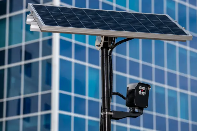
Leonardo
24 cameras, 0.7%
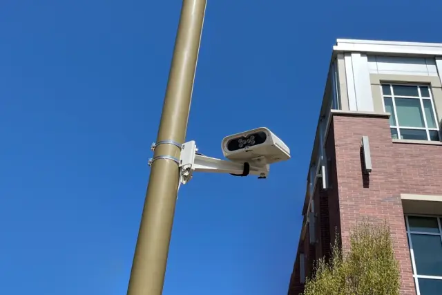
Genetec
21 cameras, 0.6%
Also on the map: Axis Communications (71), Axon Enterprise (64), Ekin (30).
How to recognize one
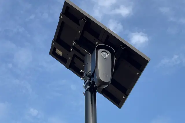
Four out of five are the Flock model in the photo above. Look for three things.
- A small gray or black camera box on its own pole, usually ten to twelve feet up, pointed at the lane.
- A solar panel on top of the pole. Most Flock cameras run on it.
- Intersections, neighborhood entrances and parking lot exits, facing the cars coming in or going out.
What the camera records
It photographs every car that passes and logs the plate, the time and the place. The record can be searched later by any agency with access, and Flock has said its network records about 20 billion plate scans a month.
Why these cameras are a problem, with sources.
Questions
- How many Flock cameras are in Virginia?
- 3,403 license plate cameras from every vendor are mapped in Virginia as of November 17, 2026, which puts it 14th of 52 states. The map is incomplete, so the real number is higher.
- Which counties in Virginia have the most?
- Fairfax County with 288, Norfolk city with 248, Virginia Beach city with 243. Every county with a camera is listed above.
- Where does the map come from?
- Volunteers find the cameras and add them to OpenStreetMap, most of them through DeFlock. FlockHopper pulls those points every day and shows them here. Nothing comes from Flock or from any agency.
- Is the map complete?
- No. A camera that is not on the map may still be there, and the count only goes up as volunteers find more. Treat a blank street as unknown, not clear.
- Can I add a camera that is missing?
- Yes. The FlockHopper iPhone app adds cameras to OpenStreetMap, and the Android app links to DeFlock's report page. Here is how to add a camera. The map here counts it within a day.
- Will the app warn me before I pass one?
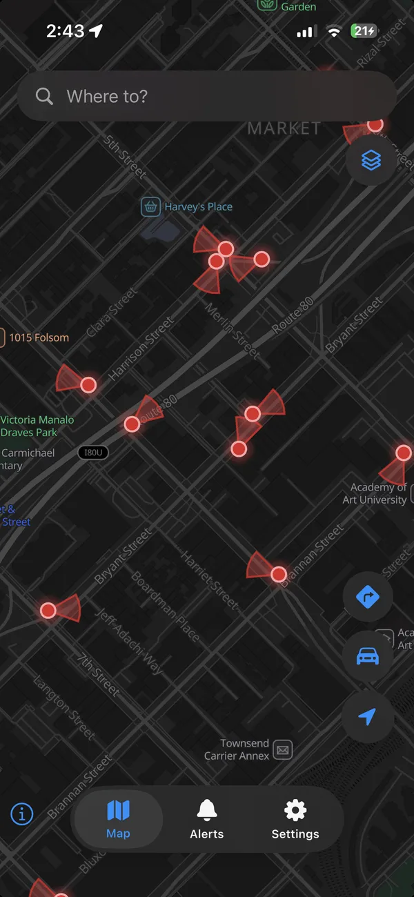
- Yes. FlockHopper shows this map on your phone and alerts you as you approach a camera. It can also plan a route around them, which usually costs a few minutes.
Take the map with you.
FlockHopper puts every camera in Virginia on your phone and warns you before you pass one. Free on iPhone and Android, no account.


Counts are cameras tagged in OpenStreetMap that fall inside each Census boundary on November 17, 2026. The map is incomplete: a camera that is not on it may still be there. Camera locations come from DeFlock volunteers and OpenStreetMap contributors (ODbL), not from any vendor or agency. Why these cameras are a problem.