
Flock and ALPR cameras in Mount Sterling.
Mapped by DeFlock volunteers and counted November 17, 2026. That is 131.8 for every 100,000 residents.
10
license plate cameras in Mount Sterling
Who makes them
- Flock Safety8
- No brand recorded2
Nearby
Every city in Kentucky →Questions
- How many Flock cameras are in Mount Sterling?
- 10 license plate cameras from every vendor are mapped inside Mount Sterling's city limits as of November 17, 2026, 0.5% of the 1,929 in Kentucky. The map is incomplete, so the real number is higher.
- Who runs the cameras in Mount Sterling?
- Mappers have not recorded who runs most of the cameras in Mount Sterling yet; a sign or a public record has to name the operator. Police departments, stores and homeowners associations all run them.
- Is the map complete?
- No. Volunteers add cameras as they find them, so a blank street is unknown, not clear. You can add one that is missing: here is how to add a camera.
- Will the app warn me before I pass one?
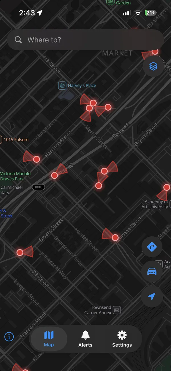
- Yes. FlockHopper shows this map on your phone and alerts you as you approach a camera. It can also plan a route around them, which usually costs a few minutes.
Take the map with you.
FlockHopper puts every camera in Mount Sterling on your phone and warns you before you pass one. Free on iPhone and Android, no account.


Counts are cameras tagged in OpenStreetMap that fall inside each Census boundary on November 17, 2026. The map is incomplete: a camera that is not on it may still be there. Camera locations come from DeFlock volunteers and OpenStreetMap contributors (ODbL), not from any vendor or agency. Why these cameras are a problem.